At the PaxLair Times, we have an entire horde of cartographers, surveyors, geologists, GIS specialists, and more who employ their skills to produce detailed plans and maps of various alliance holdings and other associated territory, both as part of an ongoing project to map all such land but also upon request.
The Atlas of the Alliance is a compiled list of all the maps produced by this dedicated team to date. If anyone has any maps they wish to add to this section, please contact Ashlynn.
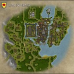
- Our glorious capital, the City of Britain (2012)
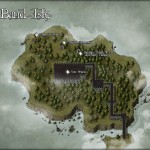
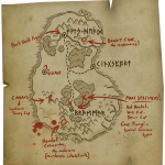
- An oblique map of Band Isle as of February 2012.
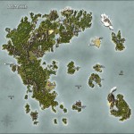
- A map of Britannia in 2012
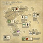
- A field guide for all Sosarian mushroom hunters!
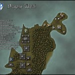
- A map of Dragons Watch as of February 2012.
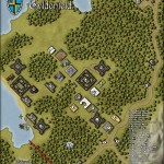
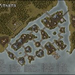
- Gyldenfeld as of May 2012
- The City of Jhelom
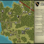
- A map of the Nidaros area as of January 2012.
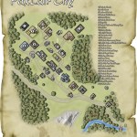
- A plan view of PaxLair City as it looked in August, 2010.
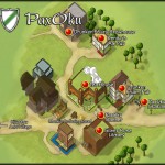
- A familiar oblique view of PaxOku in August 2011.
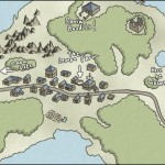
- The area surrounding PaxOku and Kijustsu Anei Village. It also shows the position of the old Lemon Farm. Composed in July, 2010.
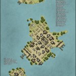
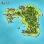
- The smelly island of Pitmuck updated as of June 2012!
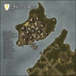
- Map of Skara Brae on Chesapeake in March of 2012.
- The Hidden Vale (With my mushroom notes included)
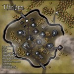
- Umbra City!
- The City of Vesper

Pingback: Hello Gyldenfeld! (Map Stuff) - Ultima Online Forums
Pingback: Vesper City Survey Complete | PaxLair Times